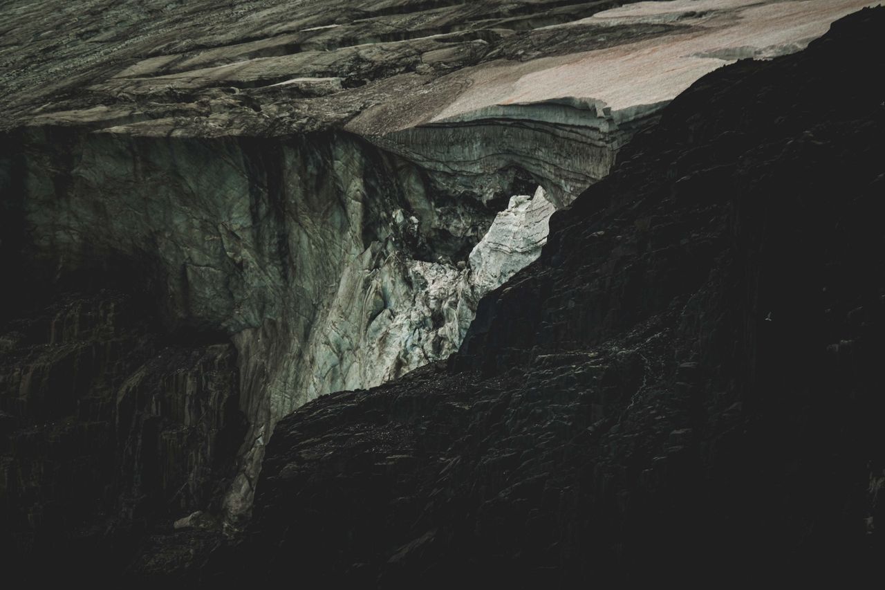
Featured coverage image. Source: Editorial desk.
A catastrophic glacial collapse near Langtang Lirung triggered massive flash floods and mudslides along the Nepal-China border, resulting in hundreds of deaths and thousands missing. International rescue operations are underway amidst widespread infrastructural destruction.
A catastrophic glacial collapse near Langtang Lirung triggered massive flash floods and mudslides along the Nepal-China border, resulting in hundreds of deaths and thousands missing. International rescue operations are underway amidst widespread infrastructural destruction.
Massive flash floods and high-density mudslides have devastated the transboundary region between Nepal and China, leaving widespread infrastructure destruction and heavy casualties in their wake. As of Sunday, August 30, 2026, official emergency management channels confirmed that the total death toll across both nations has reached 750, with more than 3,000 individuals reported missing. The disaster, which began on Wednesday morning, August 26, 2026, originated from a massive structural collapse of high-altitude glacial ice and rock near Langtang Lirung in the Central Himalayas. The resulting impact sent hundreds of millions of cubic meters of mud, shattered ice, and boulders roaring down the Trishuli River basin, sweeping away entire communities and critical trade arteries.
Glacial Structural Collapse: A high-altitude cryospheric event where large volumes of glacial ice, bedrock, and permafrost detach simultaneously due to thermal instability, generating severe downstream debris flows and rapid hydrologic surges distinct from conventional rainfall floods.
The disastrous flooding along the Nepal-China border stemmed from an extraordinary kinetic failure near the Langtang Lirung peaks. Rather than a slow glacial melt or a standard Glacial Lake Outburst Flood (GLOF), an estimated 100 million to 200 million cubic meters of ice and mountain rock detached from an elevation between 5,200 and 5,400 meters. The sheer mass of the falling material hit the valley floor with enough force to register as a magnitude 5.2 seismic event, an impact signal initial observers briefly misidentified as an earthquake.
This massive mass movement created a high-velocity debris wave that hurtled down the upper Trishuli River channel. Within 30 minutes of the primary fall, water and sediment levels in the Trishuli River spiked by nine meters. The wall of liquid mud, ice blocks, and uprooted trees surged downstream like an inland tsunami, expanding beyond historical floodplains and climbing riverbanks to heights reaching 80 meters above normal levels in narrow gorge sections.
[Langtang Lirung High Peak (5,200m+)]
                │
                ▼  (Ice/Rock Detachment: 100M-200M m³)
[Seismic Pulse Generated (Mag 5.2)]
                │
                ▼  (Kinetic Impact & Torrential Surge)
[Trishuli River Valley (Water Level +9m in 30 Mins)]
                │
                ▼  (Cascading Downstream Destruction)
[Gyirong Port & Nepal River Settlements Swept Away]
Transboundary Disaster Losses: The aggregated human, social, and demographic impacts produced when localized natural hazards cross international borders, overwhelming local response capabilities and affecting multi-national populations.
The human cost across the mountain corridors of Nepal and the Tibet Autonomous Region continues to rise as rescue crews dig through meters of compacted mud and structural wreckage. Emergency response centers report 734 confirmed fatalities in Nepal alongside 2,498 missing persons. Across the border in Gyirong County, Tibet, authorities confirmed 16 deaths and 546 missing individuals.
| Location / Jurisdiction | Confirmed Fatalities | Reported Missing | Primary Population Affected |
|---|---|---|---|
| Nepal (Rasuwa, Nuwakot, Dhading, etc.) | 734 | 2,498 | Riverbed villagers, hydro-project crews, domestic travelers |
| China (Tibet Autonomous Region - Gyirong) | 16 | 546 | Border post operators, logistics workers, local residents |
| Foreign Nationals (Combined) | Included above | 300+ | Trekkers, Mount Kailash pilgrims, international engineers |
Search teams face extreme hazards across difficult mountain terrain, where key access roads remain buried under slide debris. Despite these obstacles, specialized rescue teams in Nepal have extracted over 3,700 survivors. A major operational focus centers on the Trishuli 3A and 3B hydroelectric installations, where more than 100 energy workers remain trapped inside deep subterranean access tunnels. Emergency teams continue pumping oxygen into the underground shafts while heavy machinery works to clear collapsed portal entrances.
Hydro-Geomorphic Infrastructure Damage: The systemic destruction of civil works—including bridges, power stations, roadways, and commercial ports—caused by high-velocity water currents carrying heavy sediment loads.
The flood path carved a 72-kilometer swath of destruction along the Trishuli River corridor. Hardest hit were Nepal's Rasuwa, Nuwakot, Dhading, Gorkha, Tanahun, Nawalparasi, and Chitwan districts. On the Chinese border, the entire Gyirong Port facility—a vital land transit hub for international trade—was reduced to rubble.
Cryospheric Destabilization: The progressive degradation of mountain glaciers, snowpack, and high-altitude permafrost caused by rising atmospheric temperatures, which destabilizes steep rock faces and expands glacial lakes.
While field researchers continue investigating the immediate physical triggers of the Langtang Lirung collapse, the broader context points squarely to regional thermal stress. Atmospheric temperatures across the Himalayan range are increasing at nearly double the global average speed. This sustained warming weakens the frozen permafrost binder that holds high-altitude rock structures together, while simultaneously softening deep glacial ice.
  Accelerated Regional Warming (2x Global Average)
                       │
                       ▼
  Degradation of Permafrost & Deep Glacial Ice
                       │
                       ▼
  Structural Instability on Mountain Faces
                       │
                       ▼
  Catastrophic Slope Failure / Massive Debris Surge
Glaciologists report that the rate of glacier mass loss across the Himalayas has doubled since the turn of the century. As thermal energy penetrates deeper into alpine rock walls, structural failures become larger, faster, and far more unpredictable. Traditional disaster models focused primarily on rainfall-driven landslides or GLOFs; however, direct ice-rock structural collapses represent an emerging threat profile that existing warning systems were never designed to catch.
Multi-Sectoral Disaster Relief: A coordinated, multi-agency humanitarian deployment designed to deliver emergency medical care, logistical support, shelter, and financial assistance immediately following large-scale natural disasters.
Both national governments and global humanitarian organizations have initiated extensive emergency relief protocols across the affected river basins.
The flood disaster concentrated along a 72-kilometer zone of the Trishuli River basin. In Nepal, the worst structural destruction occurred across Rasuwa, Nuwakot, Dhading, Gorkha, Tanahun, Nawalparasi, and Chitwan districts. In China, the disaster hit Gyirong County in the Tibet Autonomous Region, completely destroying the Gyirong Port complex.
Gyirong Port serves as a critical overland commercial gateway between China and Nepal, handling roughly one-third of all bilateral trade prior to the disaster. Its complete physical destruction, combined with the loss of the Friendship Bridge and key highway links, halts land-based trade, disrupts supply chains, and cuts off overland travel routes between Kathmandu and Lhasa.
A standard GLOF occurs when a natural dam holding back a glacial lake fails, releasing impounded liquid water. In contrast, the August 2026 event was a direct structural collapse of 100 million to 200 million cubic meters of solid ice, bedrock, and permafrost from high mountain peaks. The kinetic impact of this solid material falling into the valley generated a seismic shock wave and pushed massive sediment loads downstream, acting like an avalanche-driven fluid surge.
Emergency management agencies, including Nepal's NDRRMA, continue monitoring unstable river channels for secondary blockages. Landslide debris formed temporary barrier lakes upstream, which risk sudden failure. Authorities advise all residents in low-lying areas along the Trishuli and Bhotekoshi river systems to remain clear of active floodplains and stay tuned to early-warning radio alerts.
Featured image by Francesco Ungaro on Pexels
AI BlogX is committed to high editorial standards. For time-sensitive or critical topics, please verify claims against original primary sources.
Authoritative and trend-focused coverage across business, sports, entertainment, health, lifestyle, politics, science, and technology.
More Desks
© 2026 AI BlogX. All rights reserved.
Trend-focused editorial workflow

Stories are monitored from trending signals, then processed for accurate summaries, fact-checking, and desk oversight.
Editorial policy
